Images
click on images to see them enlarge
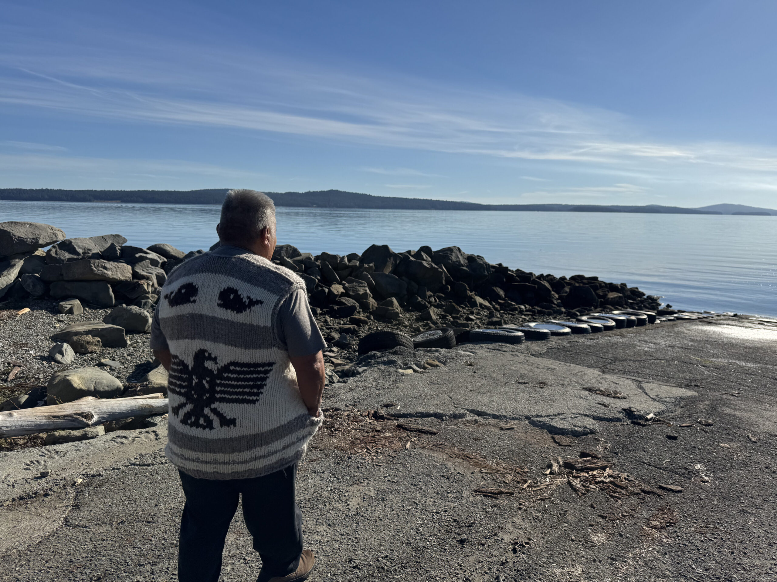
Caption: Photo of kwi’kwumluxw taken by Heather Harris, September 2025. Elder George Seymour is pictured in the photo.
hul’q’umi’num’ Knowledge
- Hul’q’umi’num Placename(s): A ~ B ~ C
- Listen to the Pronunciations by: (Speaker’s name)
- Literal translation of the name in English: “sheltered area” ~ “protected [bay]”
- Morphological information: xeem’ [√xeem-STA] crying, weeping. (CW Fall/75).
- Semantic Basis: Nanaimo River Place-Names
Geographical Information
- Region: Stz’uminus
- Geographical location/Alternative names in English: Kulleet Bay (Generic Term, for Whole Bay)
- Place type: Village
- Source: Rozen, Dictionary,
- GPS Coordinates (latitude, longitude): 49.028304, -123.766029
- Map view: Click to view
hwuhwilmuhw Perspective
On a sunny day, George and I took the day to explore and visit places in Stz’uminus. Our second last stop of the day we walked to this spot in qulit’s. This adventure started at a trail, and we walked down to the beach, and we continued to walk along the beach until we found this big rock. This rock is not an ordinary rock. There is a great significance behind this rock. This rock was created to ensure that the territory of stz’uminus food will always be plentiful as there was a time when food sources of fish, clams, oysters were not plentiful.
could add links
videos
pictures of maps
etc